Navigate to Next-level Efficiency
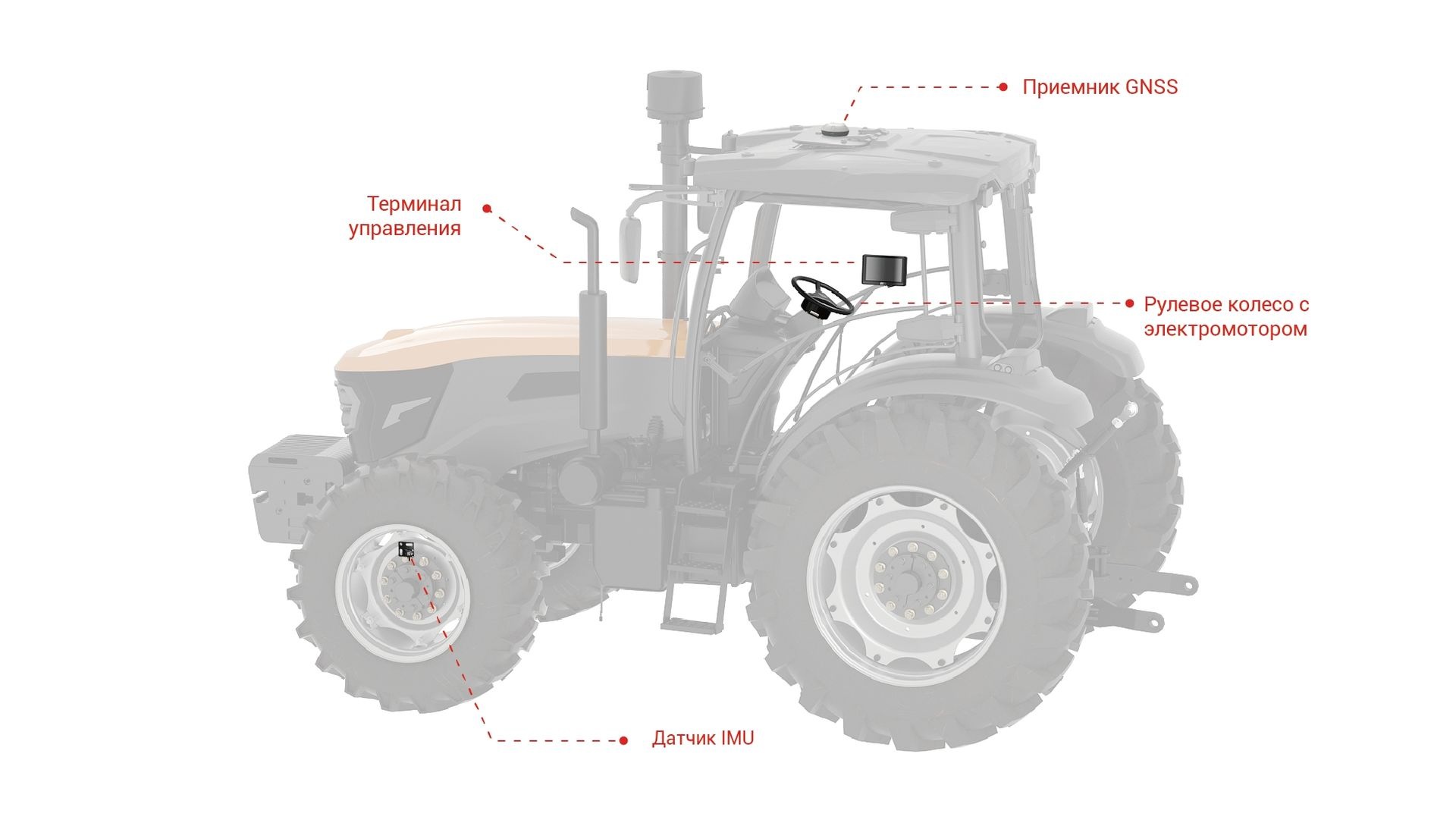
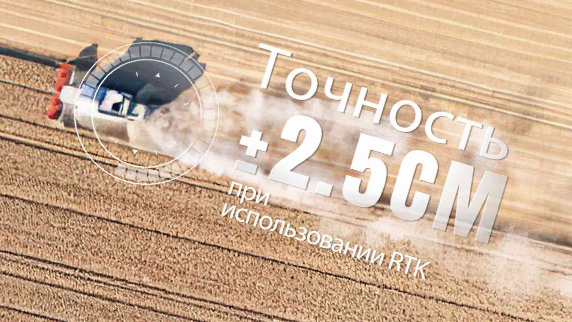
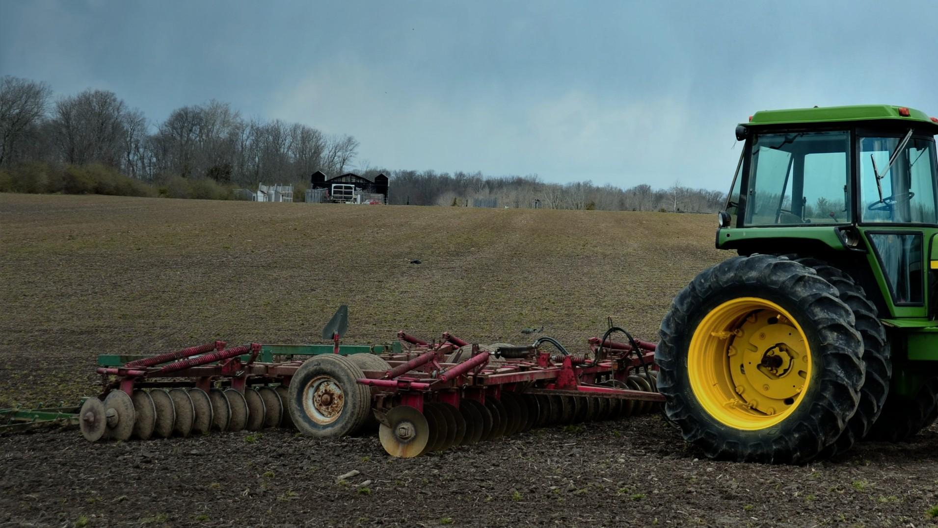
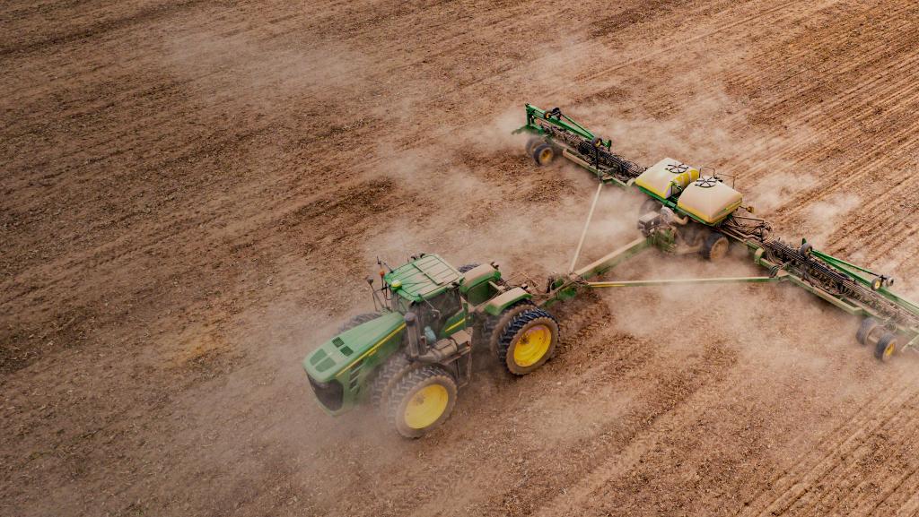
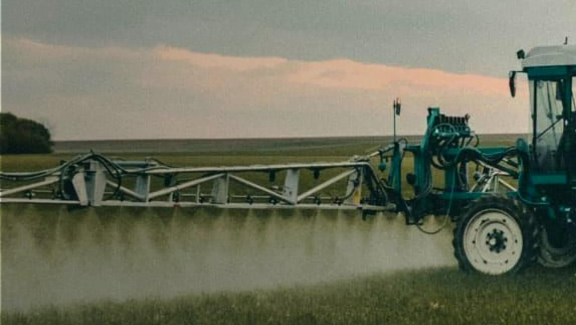
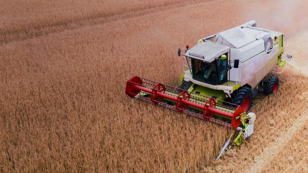
NAVMOPO AT2 auto steering system combines GNSS and RTK technologies, which guarantees an accuracy of up to 2.5 cm between passes in any terrain. PPP positioning technology allows Navmopo AT2 to work perfectly on a free satellite signal, making it suitable for remote farms with poor mobile network coverage and RTK stations. It is compatible with a wide range of agricultural machines and universal attachments. With this system, you can reduce the number of skips and overlaps, save on production costs, work at night, and make the operator’s work more comfortable, safe and productive.

Entering the line with angle 0-90 degrees

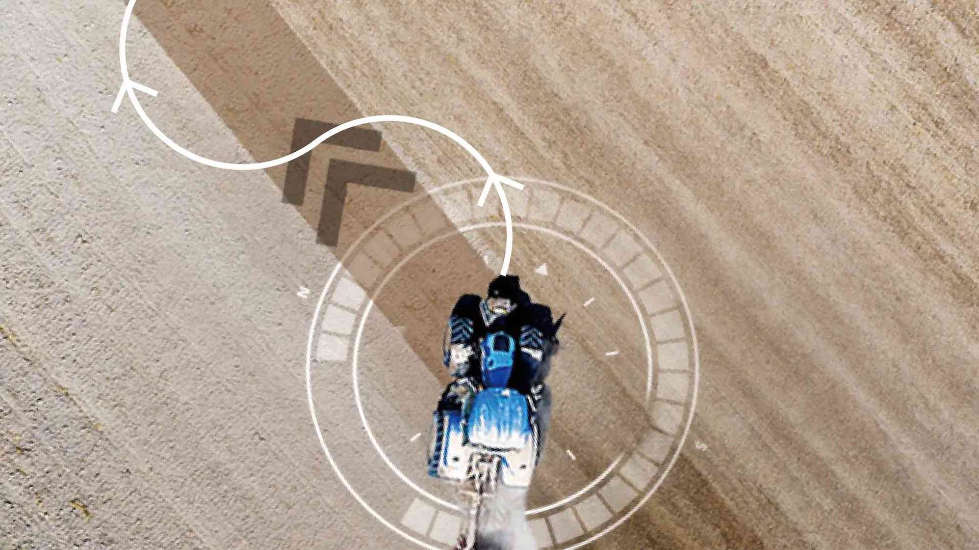
Smart U-turn

Basic U-turn

2.5 CM RTK Accuracy

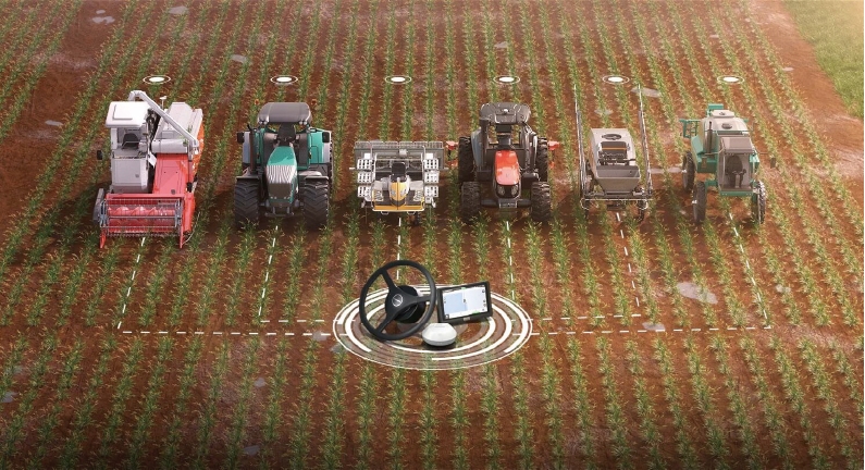
Adapted to various tractors and self-propelled equipment

Free satellite signal with accuracy ± 10cm

Terrain Compensation

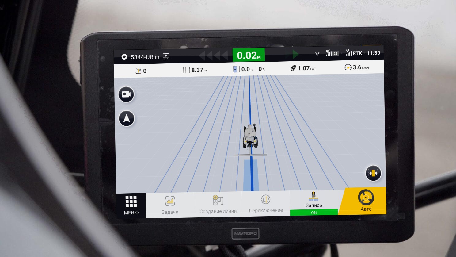
ISOBUS VT/TC

 Smart U-turn |
 Basic U-turn(Ω shape & fishtail shape) |
|
|
Suitable For
|
Large fields |
Any field shape, especially small ones |
| Path Planning | Complete path for the whole task |
Path for one turn |
| Automatic Turnaround | √ |
One click for each turn |
| U-turn Direction | Both right and left |
Both right and left |
| Headland Closing | √ |
× |
| Boundary Warning | √ |
√ |
| Overlap Avoidance | Skip worked area when planning the path |
× |
Free satellite signal with an ± 10cm accuracy
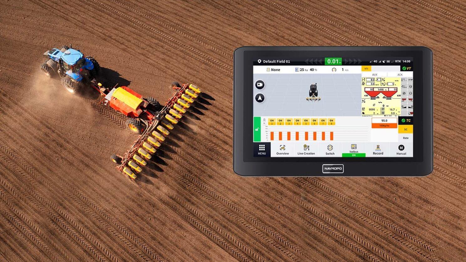
ISOBUS VT/TC *
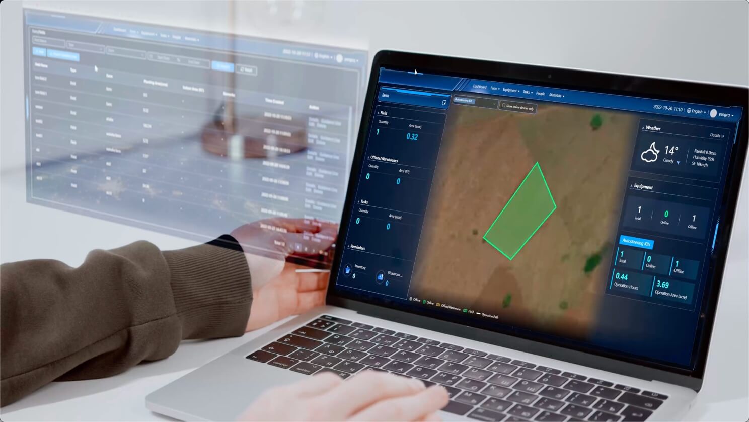
Got You Covered Throughout Seasons
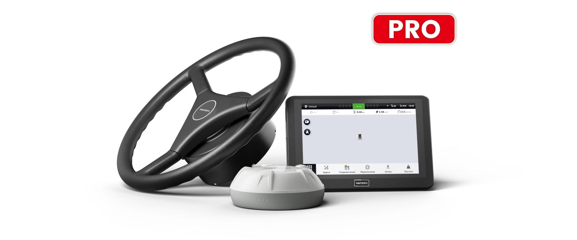
NAVMOPO АТ2 PRO
Auto Steer System


Contact us to learn more about our precision agriculture solutions
Accessories

NAVMOPO V1 Base Station
Deliver accurate positions in harsh environments with global signal coverage.

NAVMOPO N20 GNSS-станция
Поддерживает многоспутниковую и многочастотную работу, обеспечивая точность позиционирования RTK на сантиметровом уровне с дальностью действия до 30 км.

NAVMOPO Wi-Fi Camera
Sends real-time footage(1080P) to the control terminal from as far away as 20 meters, even at night(infared night vision enabled).

NAVMOPO Easy Control
Allows you to control the autosteer remotely when the touchscreen is out of reach.
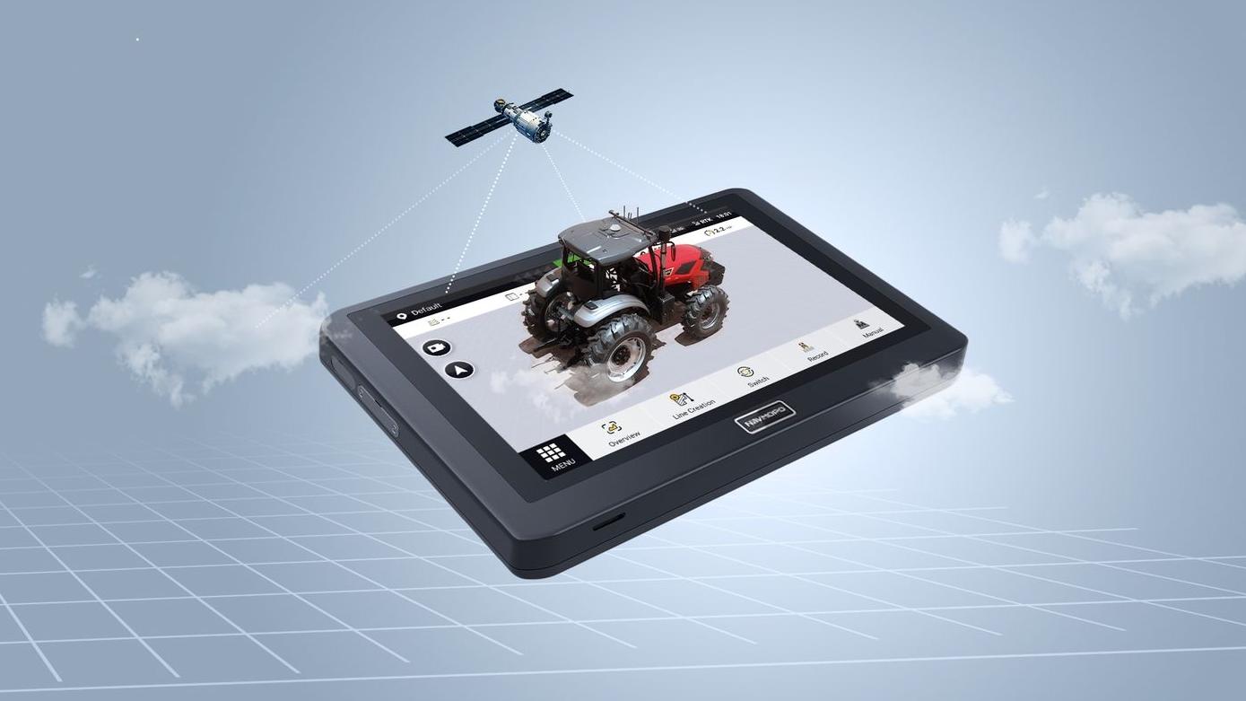
Control Terminal
-
Dimension 275x180x40 мм
-
Screen 10.1" touch screen; 700nits LED screen
-
Pixel 1280*800 pixels
-
Power Supply 9V - 36V
-
Storage 2G RAM, 8G ROM
-
Operating Temperature -20℃ ~ 70℃
-
Storage Temperature -40℃ ~ 85℃
-
Waterproof & dustpro IP65
-
2.4GHz frequency band Frequency range: 2.4GHz-2.5GHz, Output power:14dB±1.5dB
-
Access Port Main Wiring Harnessx2, Radiox1, Type-Cx2, SIM Cardx1
GNSS Receiver
-
Constellations GPS: L1C/A, L1C, L2P(W), L2C, L5; GLONASS: L1, L2; BDS: B1I, B2I, B3I, B1C, B2a; Galileo: E1, E5a, E5b QZSS:L1, L2, L5
-
Satellite Corrections SBAS: WAAS,EGNOS,MSAS
-
Dimension 162 * 64.5mm
-
Operating Temperature -20℃ ~ +70℃
-
Storage Temperature -40℃ ~ +85℃
-
Waterproof & dustproof IP66
-
Operation Voltage 9V - 36V
-
Acceleration Accuracy 0.5mg
-
Operation Current < 300mA
-
Gyroscope Accuracy 0.1°/s
-
Roll and Pitch Angle 0.2°
Electric Steering Wheel
-
Dimension 410 x 410 x 135mm
-
Power Supply 12V / 24V
-
Max Torque 20Nm(12V) / 30Nm(24V)
-
Waterproof & dustproof IP65
SPECS